On November 9, in late afternoon, I’m walking through a forest between two West African countries, Mali and Guinea. I’m looking for a tiny village called Niani, on the Guinea side. Niani, once a large walled city of tens of thousands of people, is the ancient capital of the Mandingo Empire, one of Africa’s great pre-colonial powers, which, like the country that exists today, also called itself Mali.
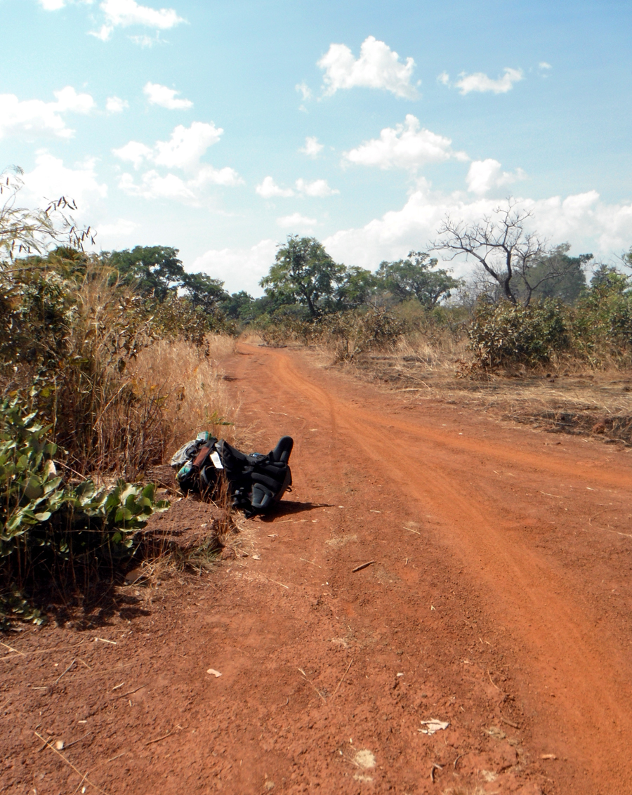
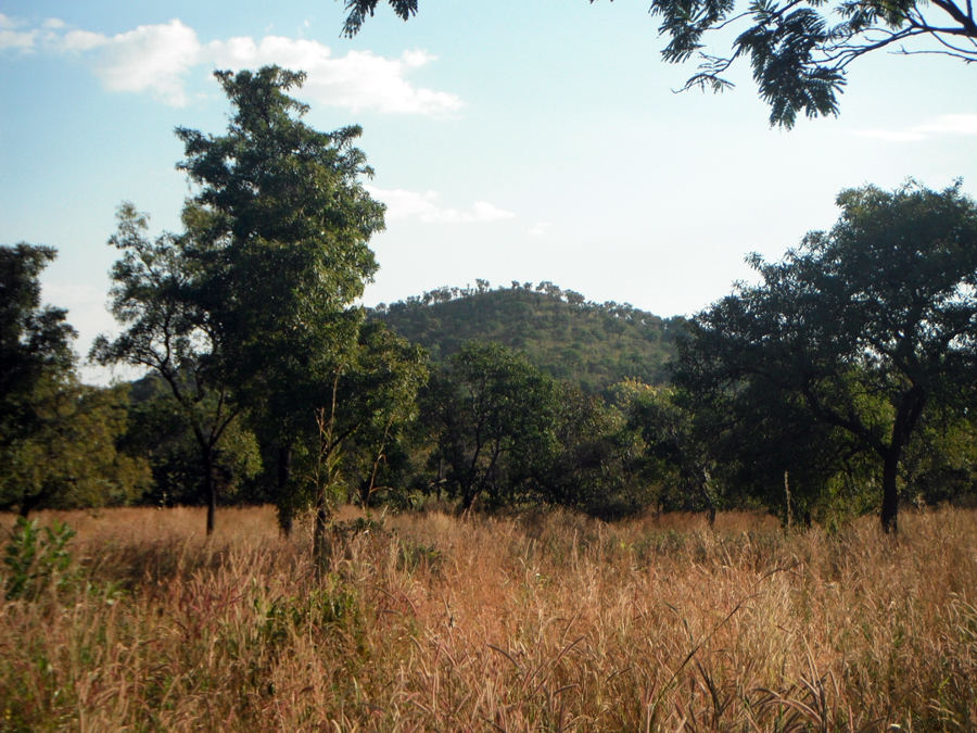
The Malian frontier guards warned me that to find Niani I had to stay on the main trail to the east and ignore trails that break off to the west. One guard, a tall, shaven headed young man in desert khaki, pointed to a pyramid shaped hill that rose above the mango, acacia and neem forests to the southeast, in Guinea. “Niani,” he said, “sits nearly at the foot of that hill.” But now, a mile and a half from the border post in Mali, I can’t see the hilltop above the forest and I’m worried about other trails that spiral off in every direction over hardpan red laterite soil. I’m trying to stick to the most worn pathway, angling more or less to the east. The path is as wide as a backcountry logging road through dense, green leafy bush of thin brown tree trunks and high yellowed grass. Every hundred yards or so a baobab with great knobby limbs and a trunk as big around as a Volkswagen bug muscles everything else out of the way. Here, the only motorized traffic is the occasional motorcycle. I see the narrow tire tracks.
In Bamako, Mali’s capital, I worked with government cartographers to locate Niani, which everyone knows is on the Sankarani River. But I could find no map or person to agree on a precise position. So, a wad of maps in my knapsack, I took a bus 120 miles south to the district of Yanfolila, near the river, which also forms part of the border with Guinea. I asked anyone who would listen—policemen, truck drivers, village chiefs—if they could place Niani on one of my maps. This way, I got gradually closer.
Niani surfaces in history in 1235 with the rise of the Mali Empire led by Soundiata Keita, a warrior known for his horsemanship and sorcery. According to legend, Soundiata could raise armies of spirit fighters to vanquish his foes. On a battlefield not far from where I’m walking he is said to have disabled an opponent with an arrow shot from miles away. This past makes Niani at least as old if not older than the better known ancient Saharan university and trading center of Timbuktu hundreds of miles to the north. Timbuktu existed on the fringe of the empire, which stretched across West Africa from the Niger River to the Atlantic coast of what is now Senegal—an area the size of California and Oregon.
I’m prepared to camp, carrying a pack with two liters of water, nuts, crackers and tins of sardines, a half-dome mosquito net, and bedroll. My pack thermometer reads 105 degrees with the sun hovering over green forests on the western horizon. It will be dark in a couple of hours. I have been on the road since 8 this morning from Yanfolila, first on an aging bus, and walking since 10. I am tired and thirsty, though I have enough water. The hill the Malian guards pointed to comes back into view straight ahead and the path emerges from the forest onto a broad green plain planted under peanuts and corn. A half mile ahead, through clumps of mango trees and a couple of giant baobabs, I see round mud grain silos with cone shaped roofs made from bundles of corn stalks. Minutes later I come to a square mud building with a corrugated tin roof and a flag pole. In the distance, on the other side of the village, Sankarani River is a mile wide and murky blue in waning light. On plastic mats and in cheap plastic chairs sit four men in sandals wearing a patchwork of athletic shorts, T-shirts, and camouflage trousers—the Guinean border guards. I’ve arrived in Niani, Guinea.